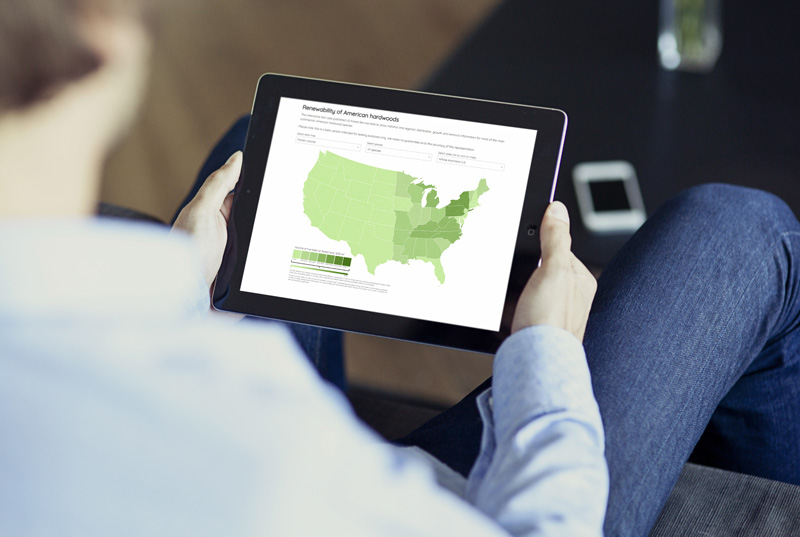
AHEC map drills down on US hardwood sustainability
30 May 2017The American Hardwood Export Council has unveiled an open access online interactive map that demonstrates the sustainability of the US hardwood forest down to county level.
It’s intended for use by timber companies and end users, but also for them to demonstrate the environmental credentials of the US forest resource to their customers.
The facility shows forest distribution, growth and timber removal rates. Users can see an easy to understand snapshot of these for the entire country, or drill down to individual county level.
The tool is based on information from the Forestry Inventory Data Online (FIDO), part of the US Forest Service Inventory and Analysis Program, which has collated latest forest information annually for 50 years. The goal of the AHEC development is to make this comprehensive data more accessible.
“We found in conversations with architects and designers, the FIDO data was often very hard to explain in layman’s terms. Technology has allowed us to do this in an easy-to-use-and-understand format,” says Mike Snow, Executive Director of AHEC.
He described the story the data tells as fascinating in terms of providing a ‘measure of the US hardwood forest’s health’.
“It’s a dynamic tool that accurately reflects what’s going on in the forest and it will dramatically change the way we promote the sustainability of American hardwoods,” he said. “It’s a new way for communicating environmental credentials and will make it easier for architects, designers and wood industries to demonstrate the sustainability of the timber they use.”
The interactive map will form a key component of the new www.americanhardwood.org website, currently in development.
“It will add an extra layer of interactivity and source of quantitative data,” said Mr Snow.
